New Orleans Riverbend Map, 30”x 30"
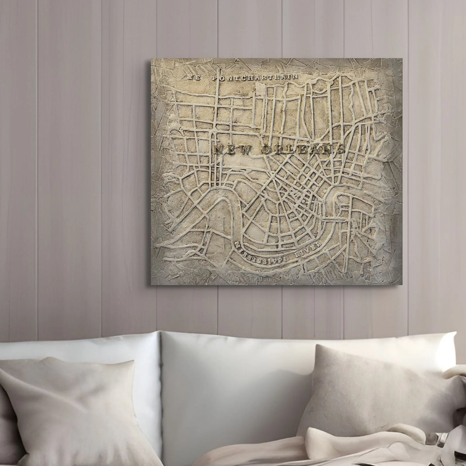
New Orleans Riverbend Map, 30”x 30"
$600.00
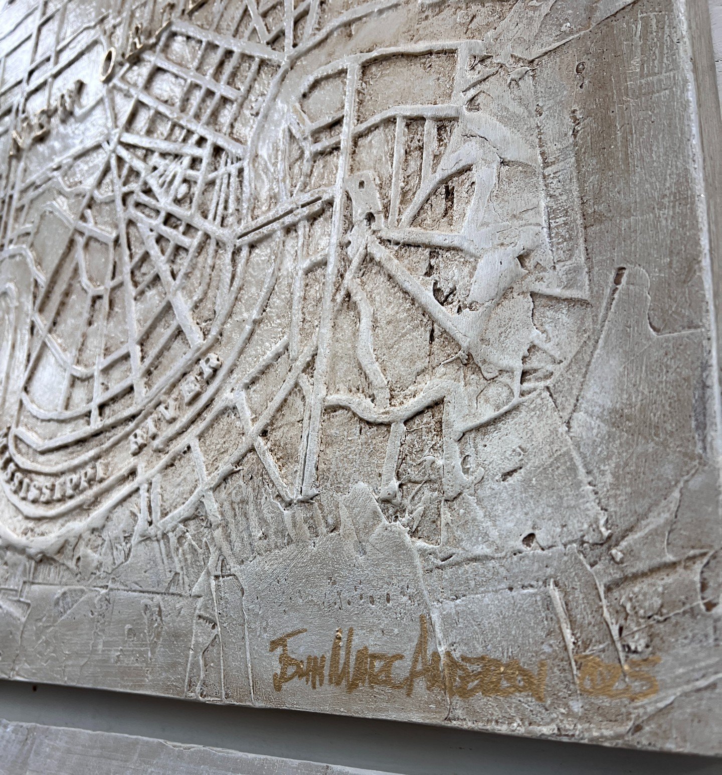
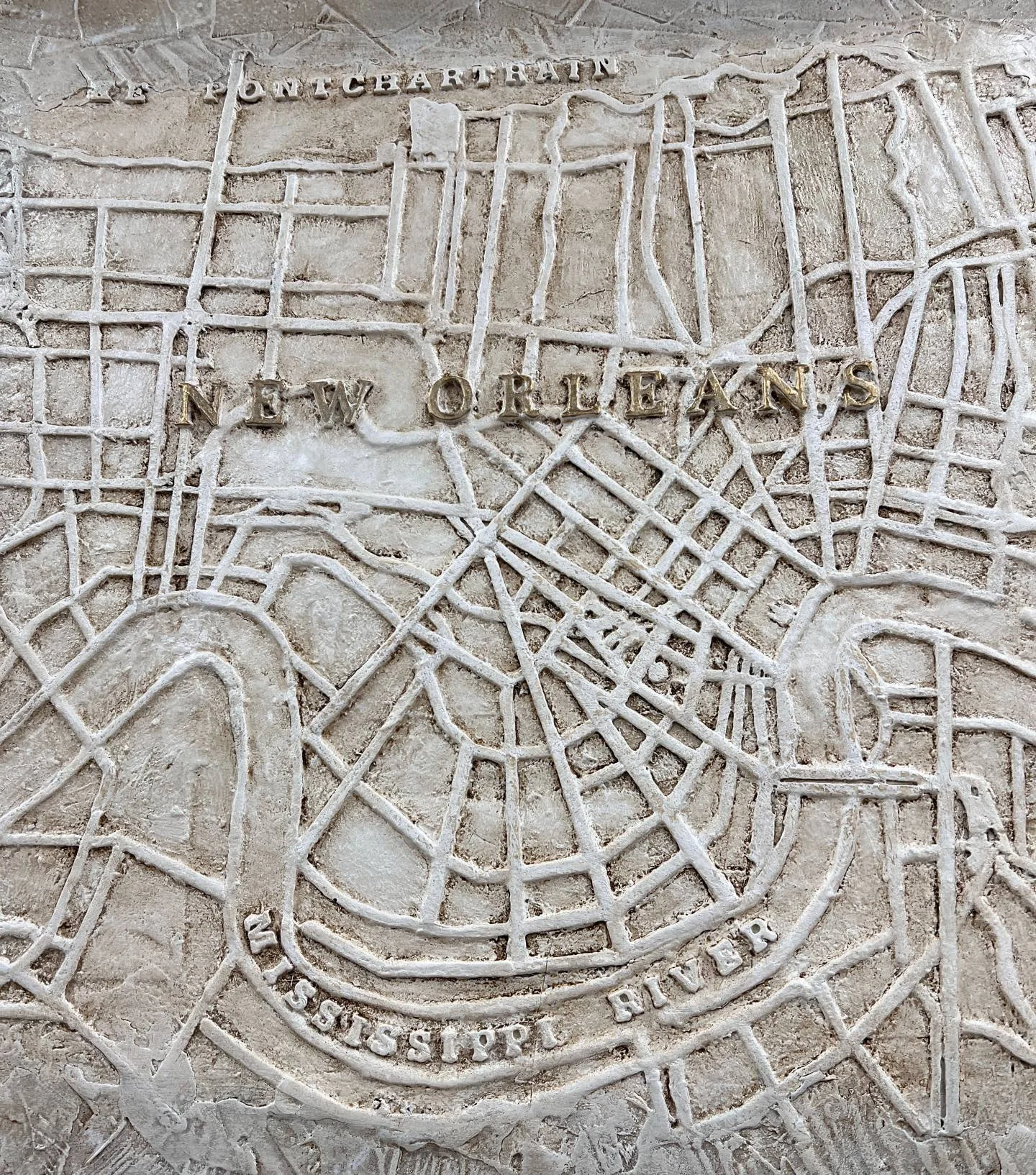
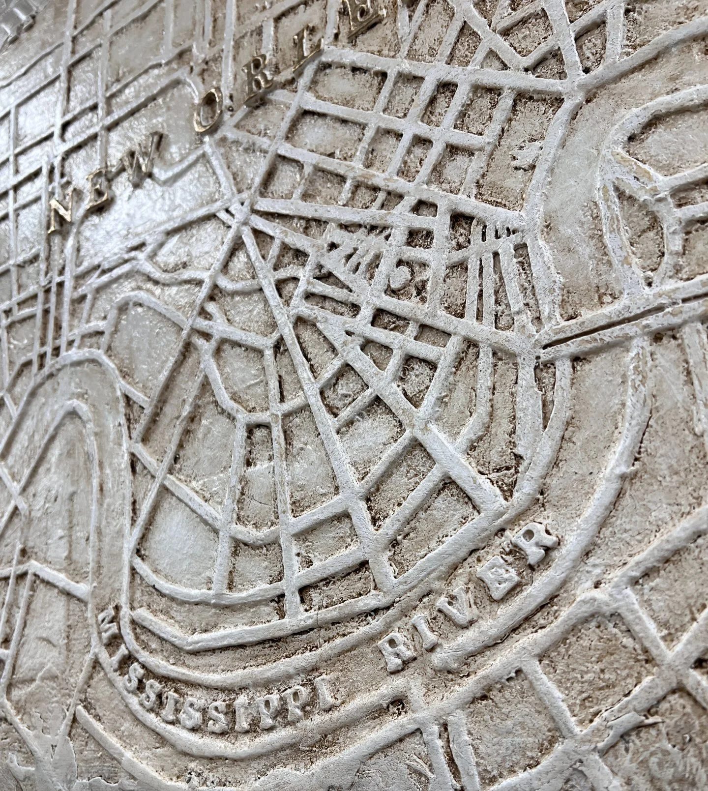
Reproduction of Marc’s intricately carved original bas relief work, 30”x 30”. Resin on wood panel. Designed to be reminiscent of a 19th century archival map, this detailed study depicts the streets of The City Of New Orleans from Lake Pontchartrain to the West Bank. A fine gift of distinction for office, gathering space, kitchen, or entry way. Greywash outer edge, with map being Marc’s signature tache d'amande (almond) stain. A heartwarming and lovely gift, too.