"Riverbend" New Orleans City Map, 36"x42"

"Riverbend" New Orleans City Map, 36"x42"
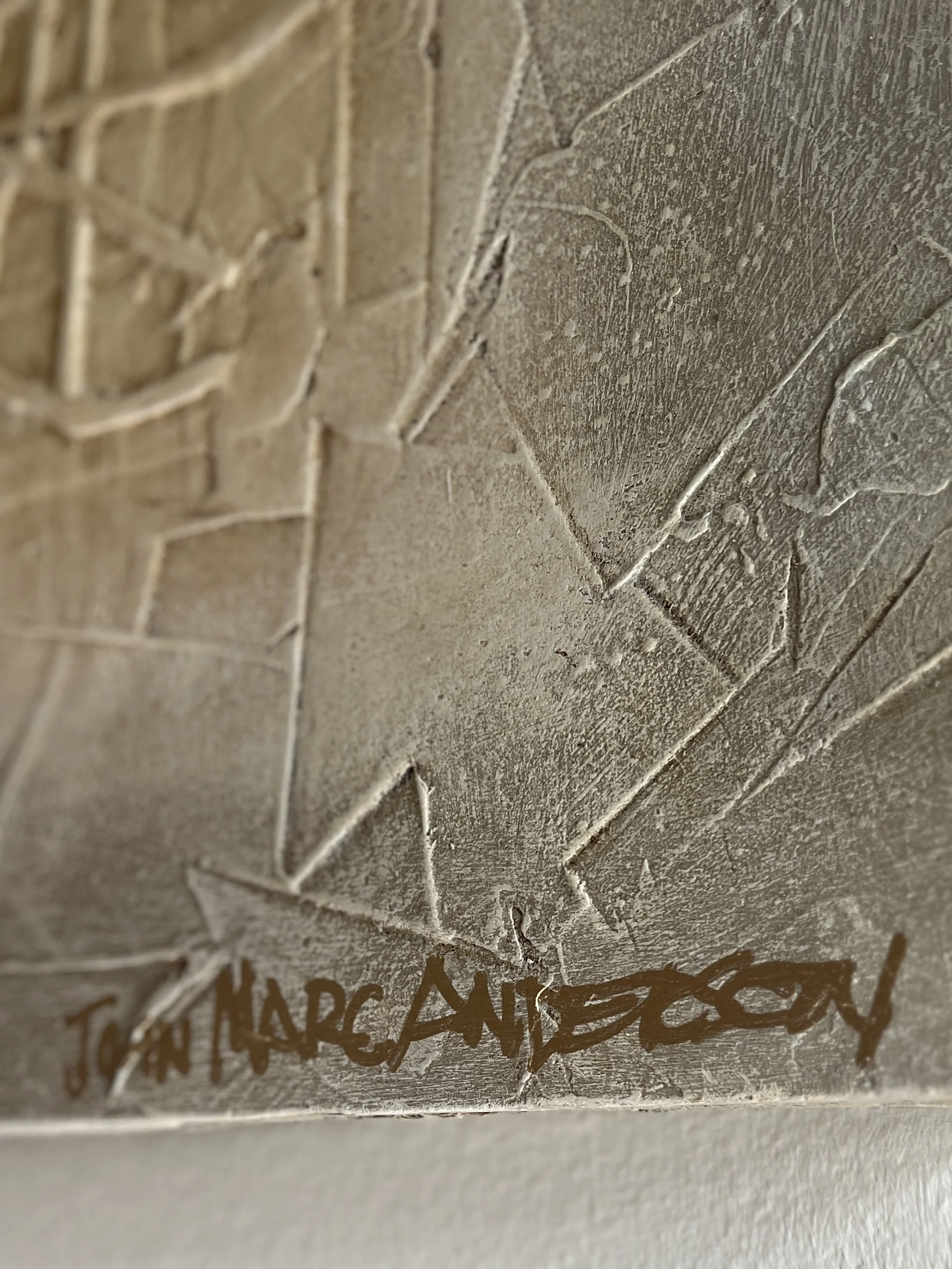
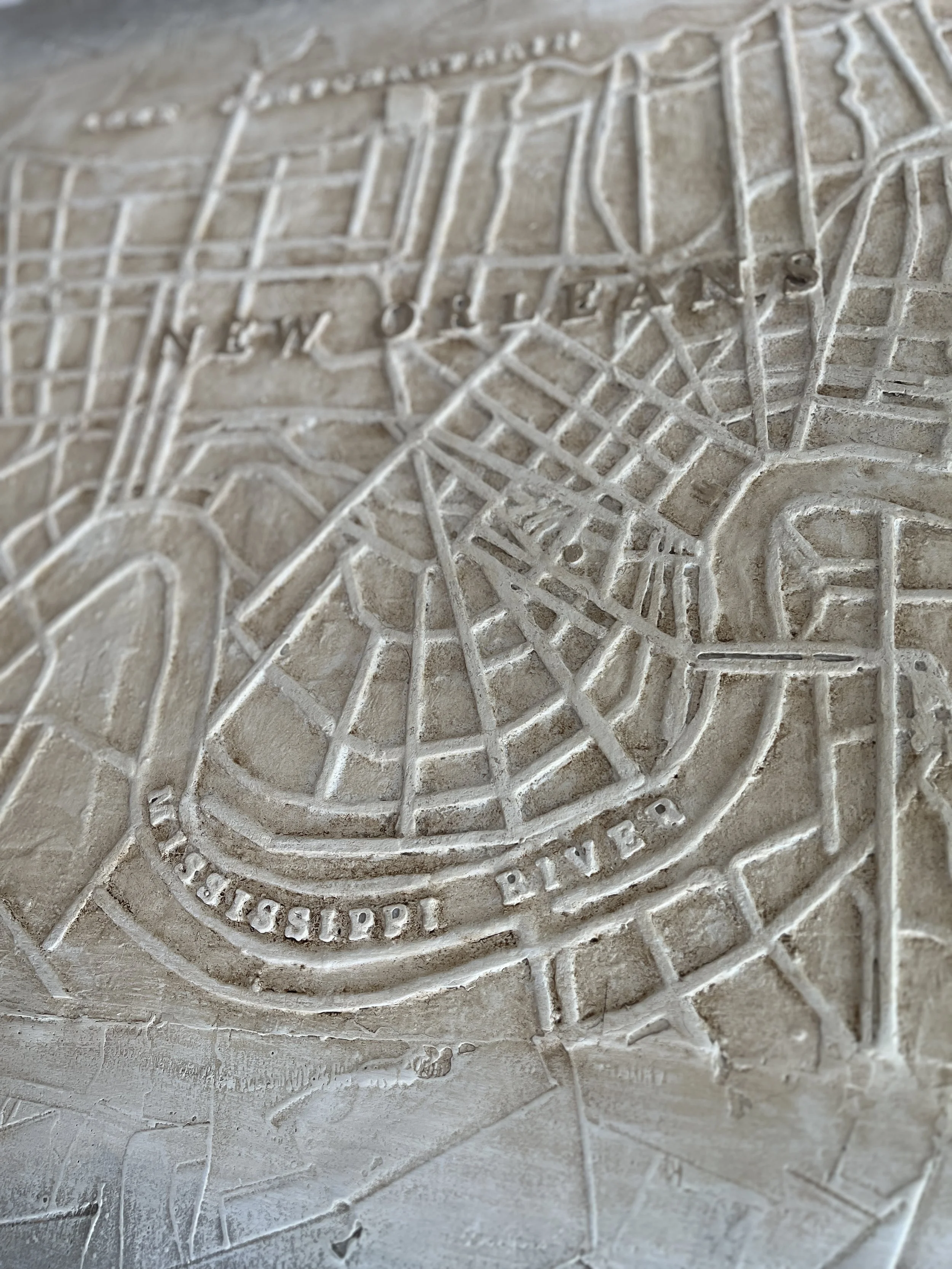
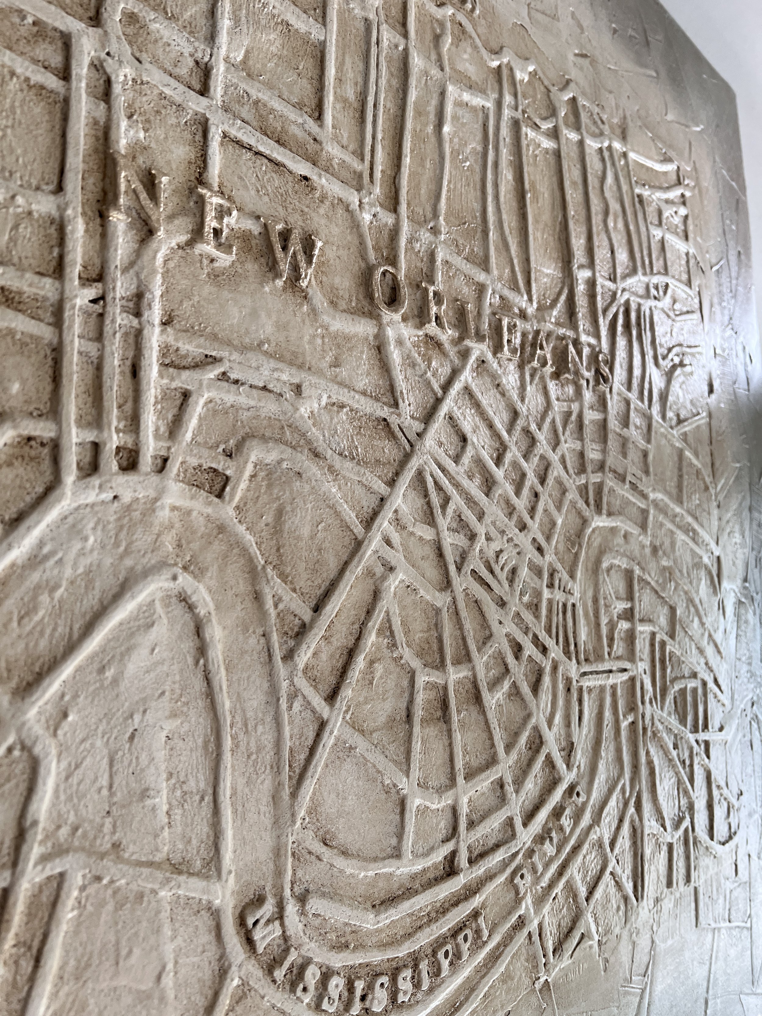
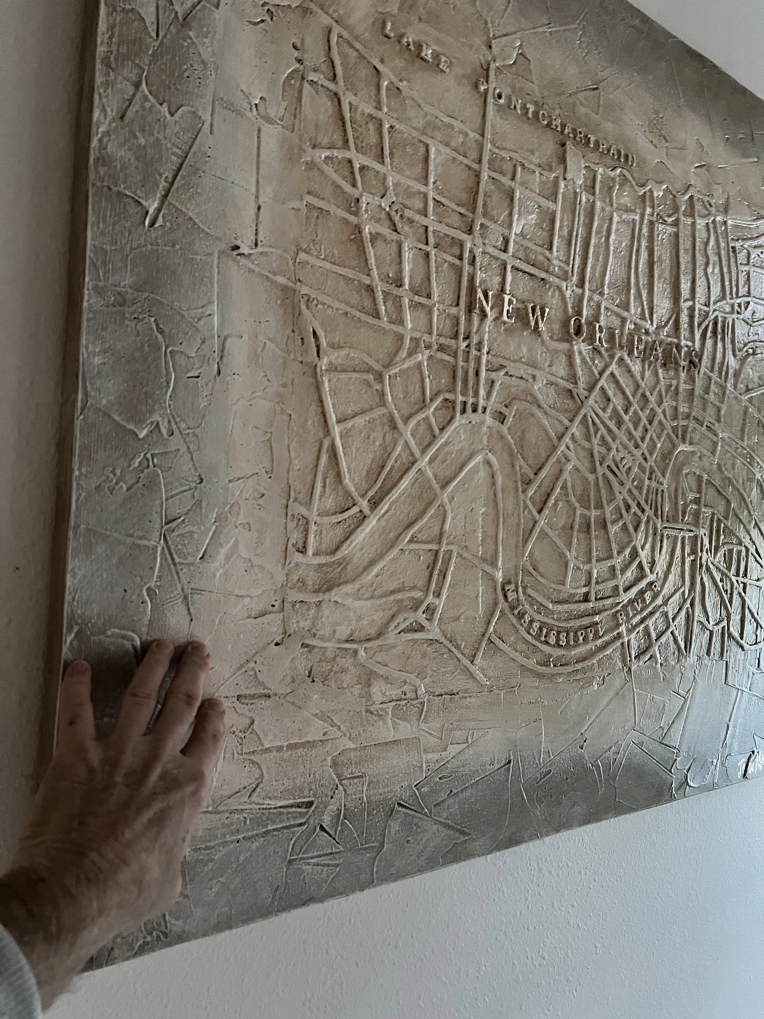
This richly detailed bas-relief map of the City of New Orleans is reproduced from Marc’s original, hand-inlaid basswood master, developed through a careful distillation of both archival and contemporary cartographic sources. From the shores of Lake Pontchartrain through the Mississippi River and across the West Bank, this sculptural map captures the geography and character of New Orleans with remarkable depth and precision. The surface is finished in Marc’s signature River Chart palette and framed by a subtle moss-gray washed border, evoking water, age, and the layered history of the city.
Designed as a striking piece of New Orleans wall art, this large-scale relief map is ideal for home interiors, offices, corporate spaces, medical practices, and financial institutions. Measuring an impressive 36 inches tall by 42 inches wide with approximately 2 inches of dimensional relief, it functions as a commanding statement piece and a lasting expression of Louisiana pride. Each map invites close study and admiration, making it both a conversation piece and a work of fine architectural art. Optional gold leaf frame-out available.